Teaching Guide: Blank Maps in Elementary and Middle School
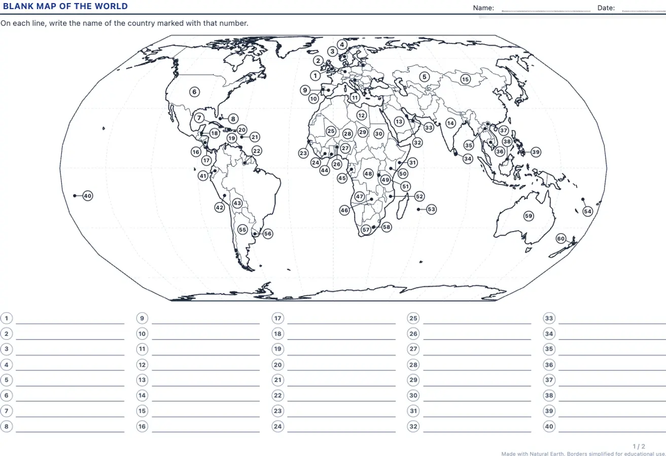
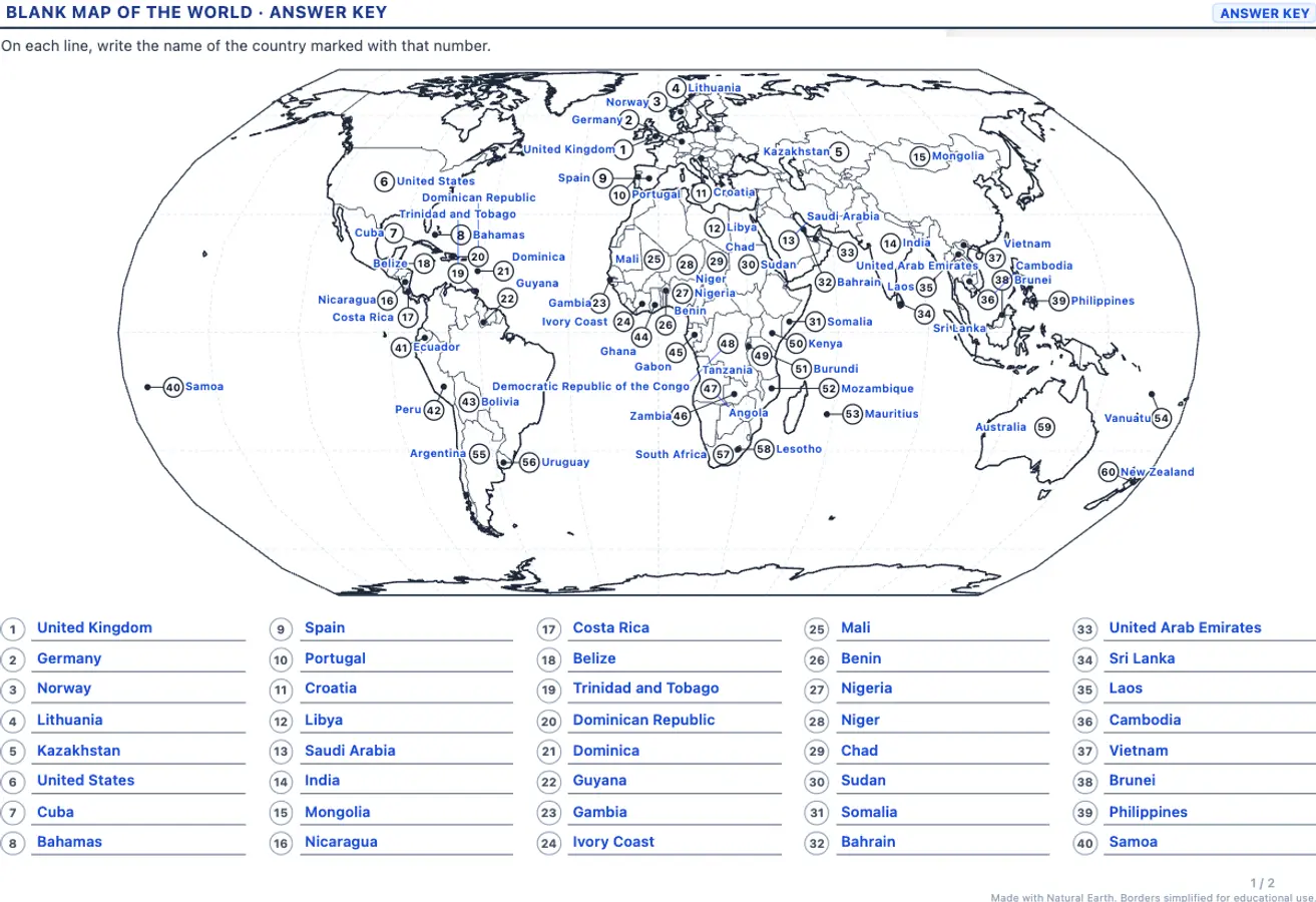
Placing countries, capitals and oceans on a blank map is the best way to build a mental map of the world. This free blank map worksheet generator creates A4 worksheets with numbered items, writing lines and an answer key with every name for quick marking.
A4, to print or save as PDF; new exercises every time
Price
Free, no sign-up
Available in
Catalan, Spanish, English
Student worksheet
Answer key
Sample made with LearnKits. Every worksheet is new: choose the topic, level and amount and print it for free.
13 maps
World (landscape), Europe, Africa, Asia, North and Central America, Central America and the Caribbean, South America, Oceania and Spain by autonomous community, by province, with its main rivers, with its rivers and tributaries and with its relief, each with a projection that suits the area.
Numbered countries
Countries are picked at random and each number goes where it fits. Small countries get a dot and a leader line.
Capitals
Capitals marked with a numbered dot, with names in English, Spanish and Catalan.
With or without a word bank
Choose the exercise with a box of jumbled names for younger pupils or the one without it for assessment.
Answer key
The same map with every name written next to its number and on the answer lines.
Eco-Print
Thin lines and no colour fills (only a light band along the mountain ranges): the map prints crisply and uses very little ink.
Frequently Asked Questions about Blank Maps
Which grades are these blank maps for?
From Grade 3, with the world map and the word bank, up to middle school, with Europe, capitals and more countries per map.
Can I make a different worksheet for each pupil?
Yes. Tap the map on the sheet and click “New”: the generator picks other countries or capitals on the same map. “Duplicate” adds another version to the same worksheet, and “Templates” saves the worksheet to use again.
What happens with very small countries?
Countries too small to hold a number (Luxembourg, Malta, the Caribbean islands…) get a dot and a leader line to a number placed in the sea. For Central America and the West Indies, choose the closer “Central America and the Caribbean” map. You can also leave small countries out under “More options”.
Why do some capitals have two names?
Some countries share their capital functions, such as Bolivia (Sucre and La Paz), South Africa (Pretoria, Cape Town and Bloemfontein) or Malaysia (Kuala Lumpur and Putrajaya), or moved them recently, like Ivory Coast or Tanzania. The answer key shows both names and either answer is correct.
Where do the maps come from?
Borders come from Natural Earth, a public domain map collection (Made with Natural Earth), simplified so they print crisply on A4.
Is there a map of Spain by autonomous community and by province?
Yes. Choose “Spain: autonomous communities” (17 communities plus Ceuta and Melilla) or “Spain: provinces” (50 provinces plus Ceuta and Melilla). The Canary Islands appear in the usual inset box, and on the province map the community borders are drawn more strongly. For capitals, the answer key accepts every official form (for example “Vitoria-Gasteiz” or “Pamplona / Iruña”).
Are there physical maps of Spain with rivers and relief?
Yes. “Spain: main rivers” numbers 18 rivers flowing into the Cantabrian Sea, the Atlantic and the Mediterranean (Miño, Douro, Tagus, Guadiana, Guadalquivir, Ebro, Júcar, Segura, Turia, Llobregat, Ter, Nalón, Bidasoa…), and “Spain: rivers and tributaries” adds the main tributaries (Sil, Esla, Pisuerga, Jarama, Genil, Segre, Cinca, Jalón…). “Spain: relief” numbers the mountain ranges, the two halves of the Meseta, the Ebro and Guadalquivir valleys and the main peaks, such as Mount Teide, Mulhacén, Aneto and Almanzor. Rivers come from Natural Earth and the mountain ranges are drawn schematically.
Is any data sent to a server?
No. The worksheet is generated in your browser and no pupil data is stored.
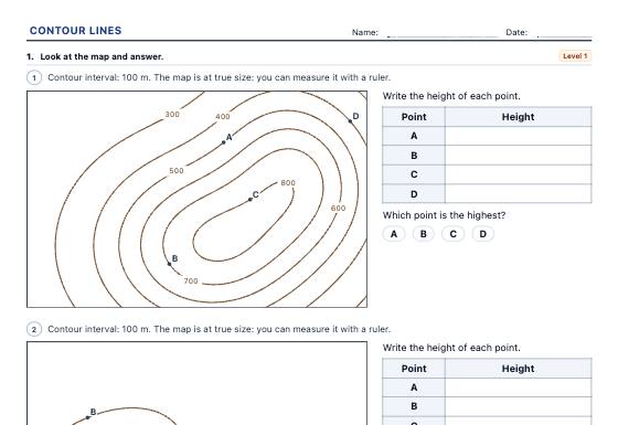
Random topographic maps printed at true size: heights of points on and between contour lines, comparing steepness, drawing the cross-section along a line and working out distances, height differences and gradients with the scale, in three levels with an answer key.
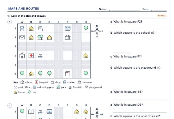
Map skills worksheets on random town plans with our own symbols: compass directions, grid references (B3), following and writing routes, left and right from someone else's point of view and the key, in three levels with an answer key.
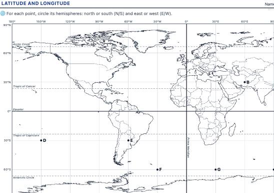
A world map with parallels and meridians to read and plot coordinates, identify hemispheres and find continents, oceans and cities from their latitude and longitude, with an answer key.
This feature is not yet available. We are actively building advanced tools for schools, tutoring centers, and teachers.
Notice: All current worksheet generators and printable materials on LearnKits are and will remain 100% free and open. Pro will be an optional enhancement for school institutions.
Features in development:
No Watermark: Print worksheets and answer keys without the LearnKits mark.
Cloud Collections: Access and organize your worksheets from anywhere.
School Branding: Add your school crest and custom header notes.
Direct PDF Export: One-click vector PDF downloads without print popups.
Thank you! We will notify you first as soon as LearnKits Pro becomes available.
Analytics cookies
We use Google Analytics to learn which resources are used and improve them, only if you accept. You can change your choice at any time from the page footer. Cookie policy