Map to real life and back
Multiply by the scale to go from the map to real life, divide to go back, and give the answer in metres or kilometres.
A scale links a length in a drawing to the real length: at 1:50,000, 1 cm on the map stands for 50,000 cm in real life, which is 500 m. This free map scale worksheet generator builds ratio scale and scale bar problems and, above all, maps and floor plans printed at true size so that pupils measure with a ruler, with an answer key that shows every calculation and every unit conversion.
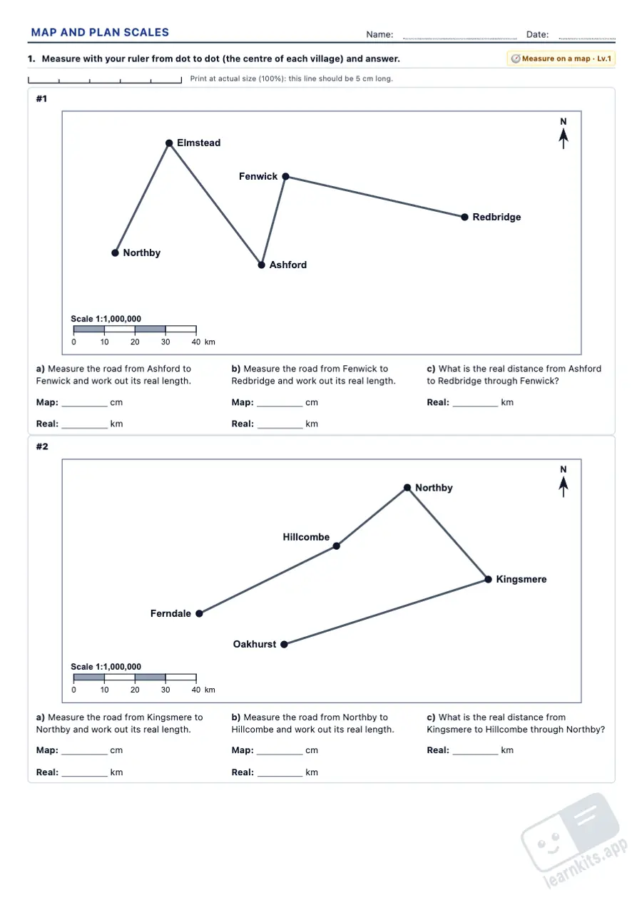 Student worksheet
 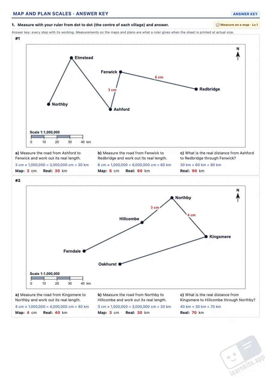 Answer key
 Multiply by the scale to go from the map to real life, divide to go back, and give the answer in metres or kilometres.
Put both lengths in the same unit and divide: the hardest step, and the one that best shows what 1:n means.
Scale bars printed at true size to read with a ruler, label the marks of, or draw from a ratio scale.
Villages and roads drawn exactly to scale: measure each road, add up the routes and, at level 3, find the scale from the scale bar.
Rooms drawn at 1:50, 1:100 or 1:200 to work out their real size and, at level 3, their area in square metres.
Every problem with what the scale means, the calculation and the unit conversion (cm, m, km), and the maps and plans with the measurements in red.
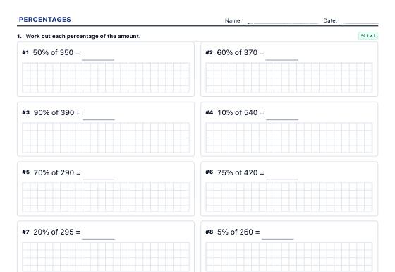
Percentage of an amount, one amount as a percentage of another, increases and decreases with the multiplier, successive and reverse percentages, percentages, fractions and decimals and word problems, with a step-by-step answer key.
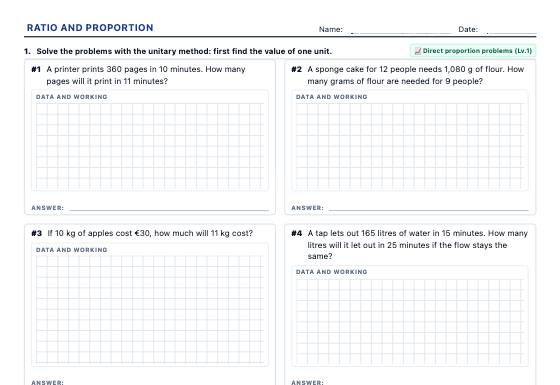
Proportion tables, direct and inverse proportion, compound proportion and sharing in a ratio, with real-life word problems and a step-by-step answer key.
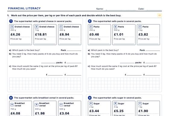
Shelf labels, invoices, receipts, budgets, payslips and bank statements to practise unit price, discounts, VAT, tariffs, simple and compound interest and loans, with a step-by-step answer key.