Write the capital or the country
Lists to complete in both directions. With the word bank, pupils pick the answer from a box: perfect for beginners.
Knowing the countries and their capitals is a core part of political geography from Grade 5 through middle school. This free countries and capitals worksheet generator creates A4 worksheets by continent and level, with an answer key for marking in moments. Every exercise you add is different, and one worksheet can mix continents and exercise types. To place them on the map, pair them with the printable blank maps, and find more resources in History & Society.
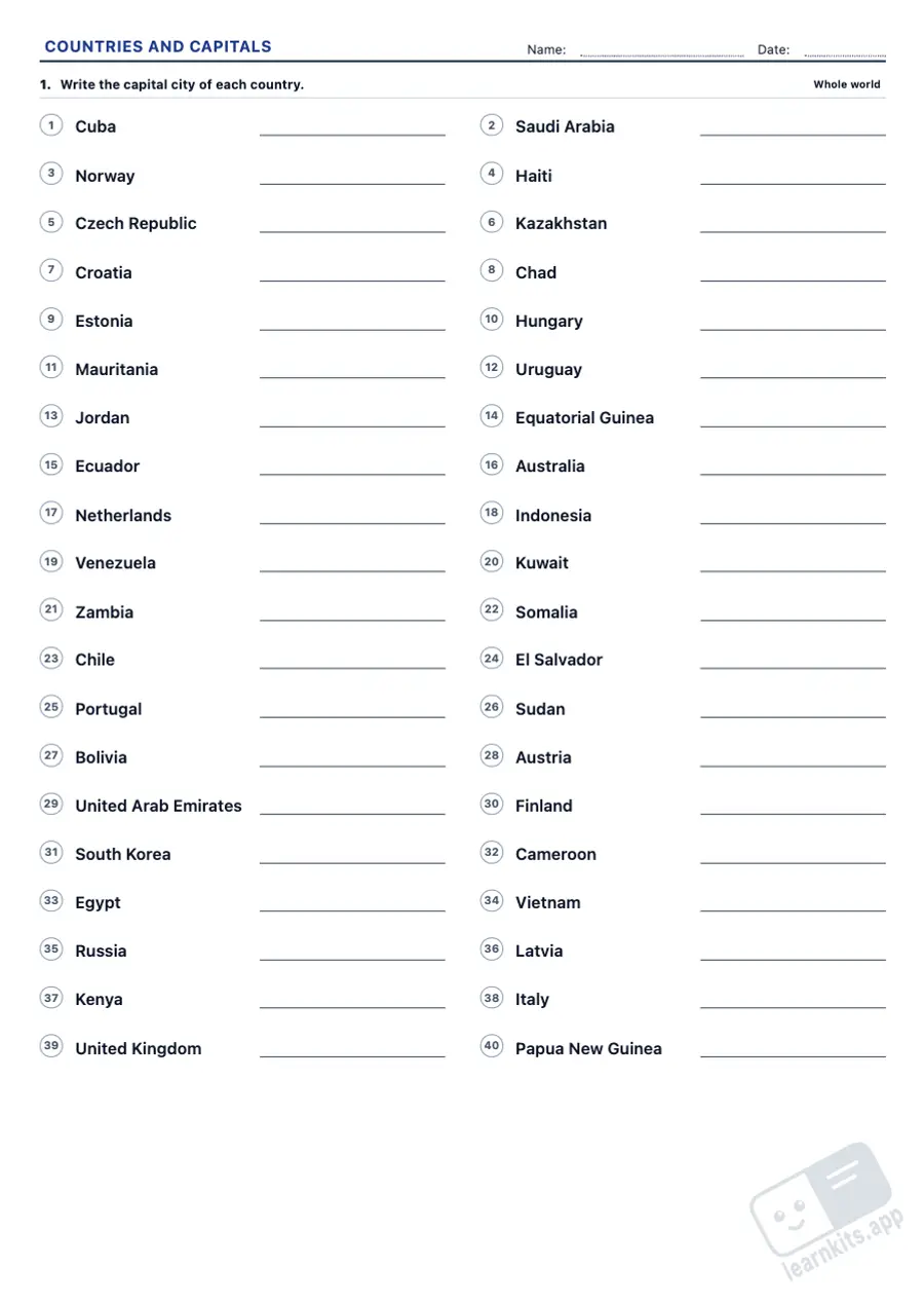 Student worksheet
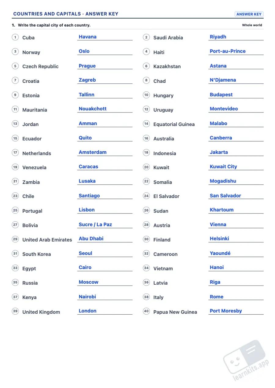 Answer key
Lists to complete in both directions. With the word bank, pupils pick the answer from a box: perfect for beginners.
Countries and capitals in two shuffled columns to join with arrows, with a box for the number so marking is faster.
Three or four options per question, always from the same continent, so the distractors make pupils think.
From the best-known countries of each continent to every UN member state, microstates and Pacific islands included.
Europe, Africa, Asia, North and Central America, South America, Oceania, the Americas or the whole world.
The same sheet with the answers highlighted: capitals written in, arrows drawn and the correct option circled.
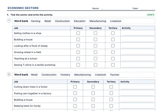
Economic sectors worksheets: sort jobs and workplaces into the primary, secondary and tertiary sectors, the chain of a product, real employment data by sector for 38 countries (World Bank, 1991 and 2022), globalisation and the balance of trade, in three levels with an answer key.
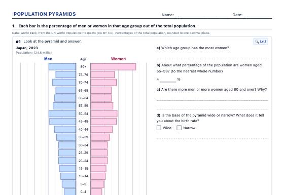
Population pyramids with real data from 40 countries (1960-2023) to read and classify, draw from a table, work out demographic indicators and compare, with an answer key.
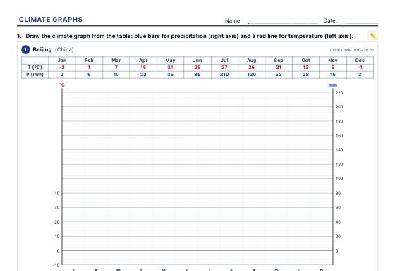
Climate graphs with real weather station data to draw, analyse (temperature range, mean temperature, dry months) and identify the climates of the world and of Spain, with an answer key.